AGRICULTURE


False colour composite and NDVI


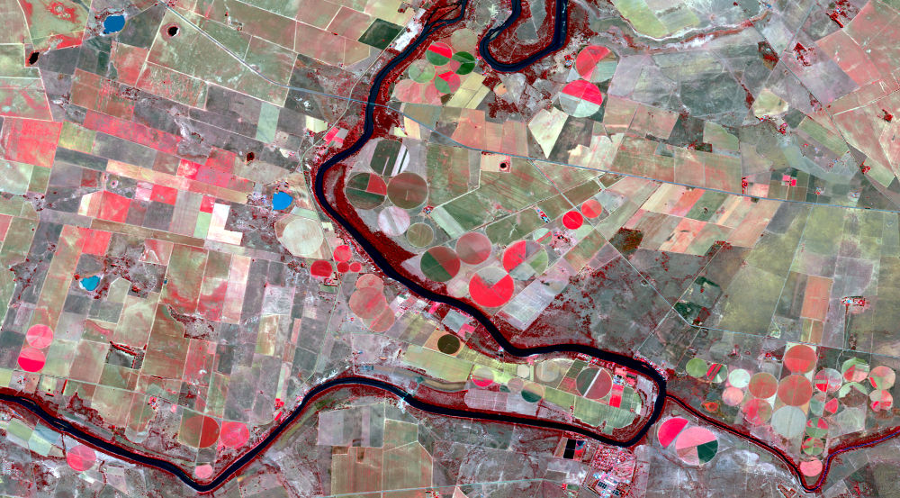
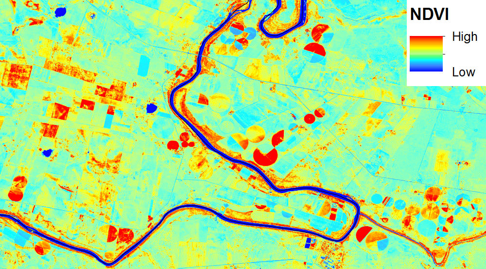
LandSat 8 false colour composite image (left image) showing agricultural fileds at Bothaville in the Free State. The colour combination used shows healthy vegetation in deep red, water bodies in black and non-cultivated areas in different shades of green. A Normalized Difference Vegetation Index (NDVI) of LandSat 8 image (right image) was calculated by using the near infrared and visible spectral bands using the following formula (NIR-VIS/NIR+VIS). The image shows healthy vegetation in red, water bodies in blue and non-cultivated areas in cyan.


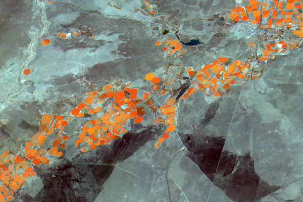
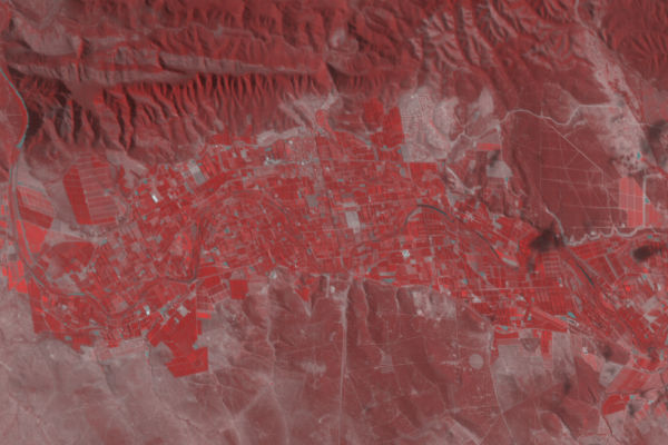
A false colour composite of SumbandilaSat image of Jan Kempdorp in the Northern Cape shows agricultural fields in different shades of orange. At the bottom of the image, burnt areas (scars) can be seen in black.


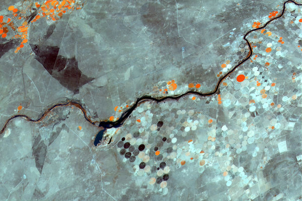
SumbandilaSat False colour composite of agricultural fields at Warrenton in the Northern Cape. Uncultivated fields in the image shown in different shades of grey whilst the river is shown in black.


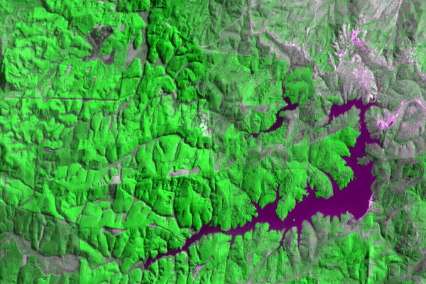
Injaka Dam at Bushbuckridgeis shown in blue surrounded by forest plantations.


Agricultural plantations at Kirkwood in the Eastern Cape Province.

Back to top


© Copyright: South African National Space Agency 2015. All rights are reserved.