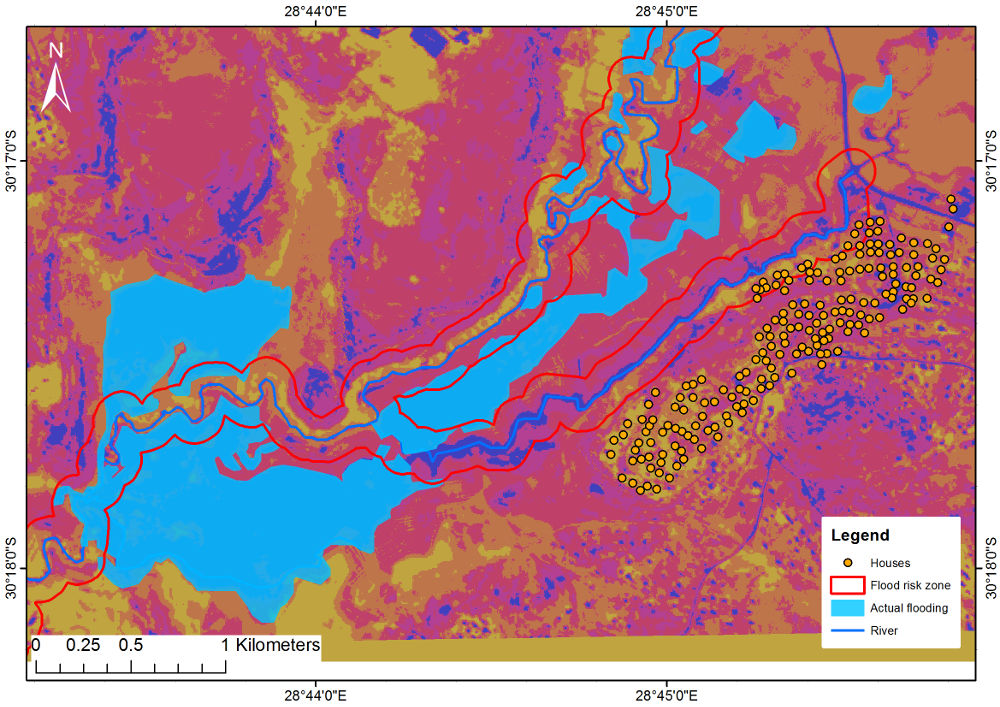
POST-FLOOD AND FLOOD RISK ANALYSIS


South African Flood Inundation Layer


The potential flood map is a product indicating the water level above the river channel (fig. 2). The product has been developed for three water levels of 1, 3 and 5 metres above the river channel.

The product can be used for different applications such as:

• Identifying areas vulnerable to flooding.
• Identifying infrastructure and other environmental resources that are situated within the flood risk zones.
• Identify flood line and developing flood plain maps.
• Providing valuable information for planning purposes, such as town planning and infrastructure development.
• Water management and irrigation planning.
• Developing hydrological and disaster risk reduction models for early warning.

The potential flood map was developed from the Height Above Nearest Drainage (HAND) product which is a hydrologically relevant elevation data based on topography. The difference between the HAND product and the digital elevation model (DEM) is that the elevation in a DEM is calculated from the sea level which is zero and increases further inland. In contrast, the HAND product is calculated from the river channel which has a value of zero at the river channel as demonstrated in figure 1.
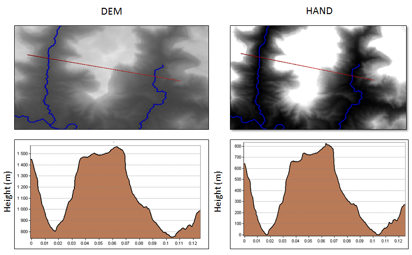
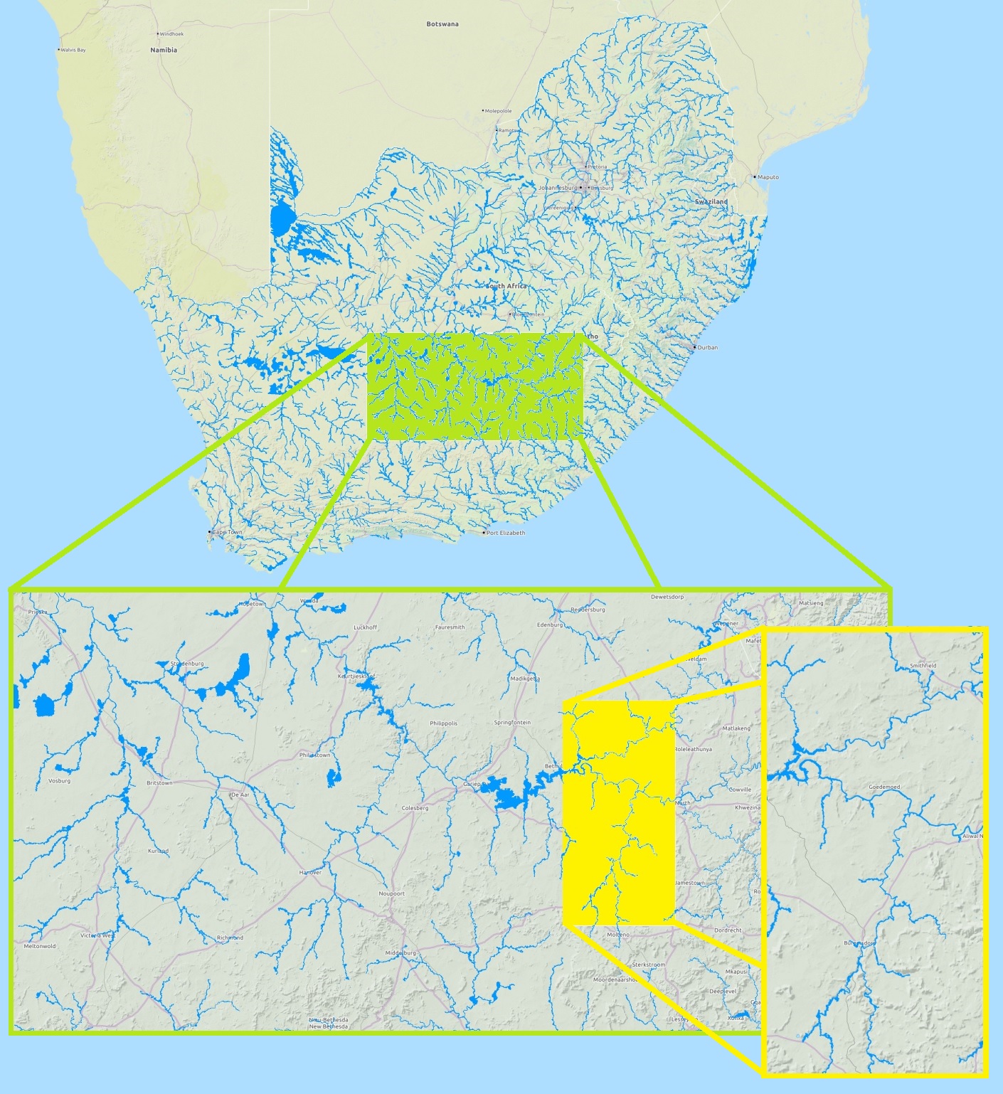
Figure 1: Profile comparison between SRTM DEM and HAND.

Figure 2: South African Flood Inundation Layer.

Post-flood Analysis


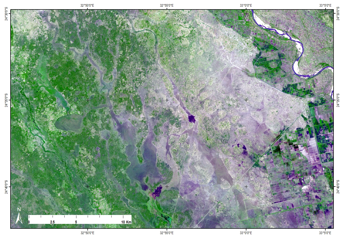
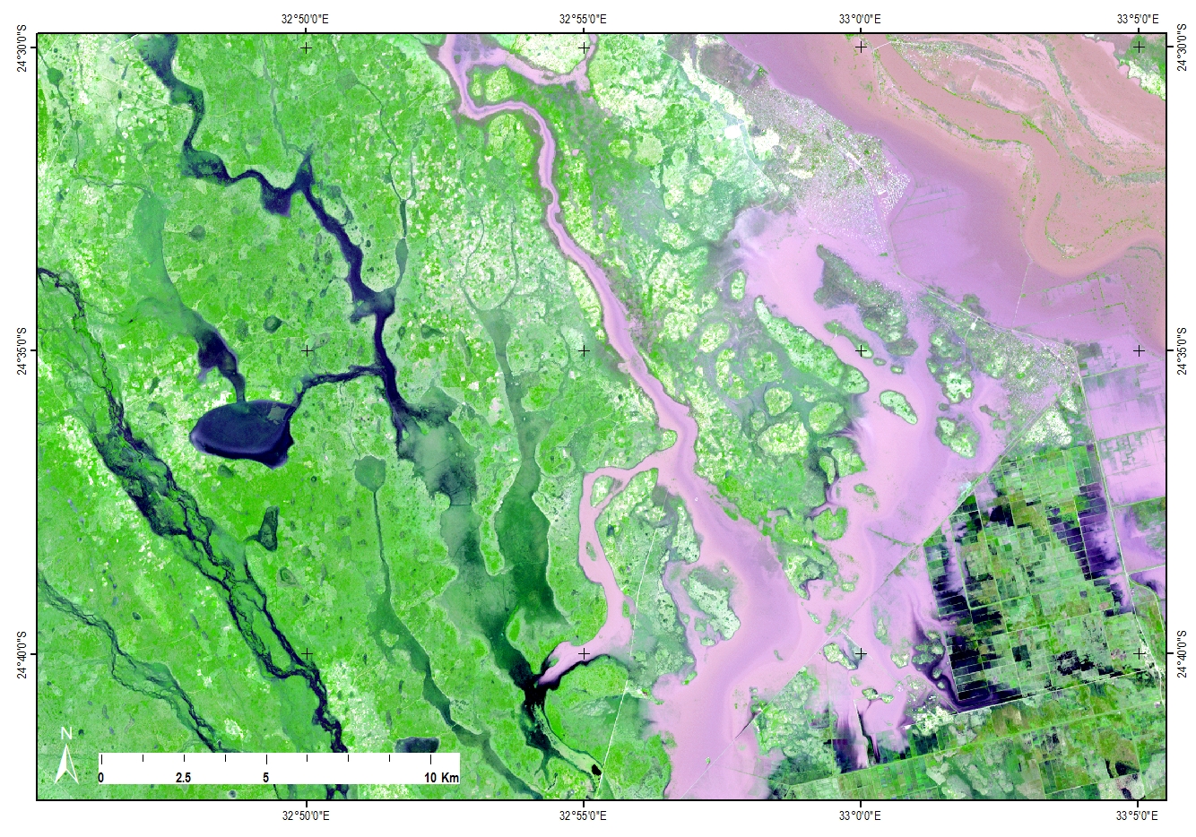
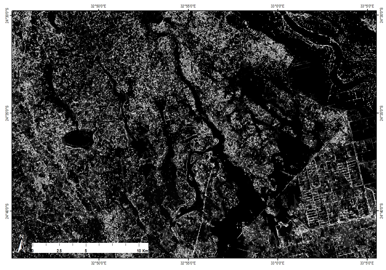
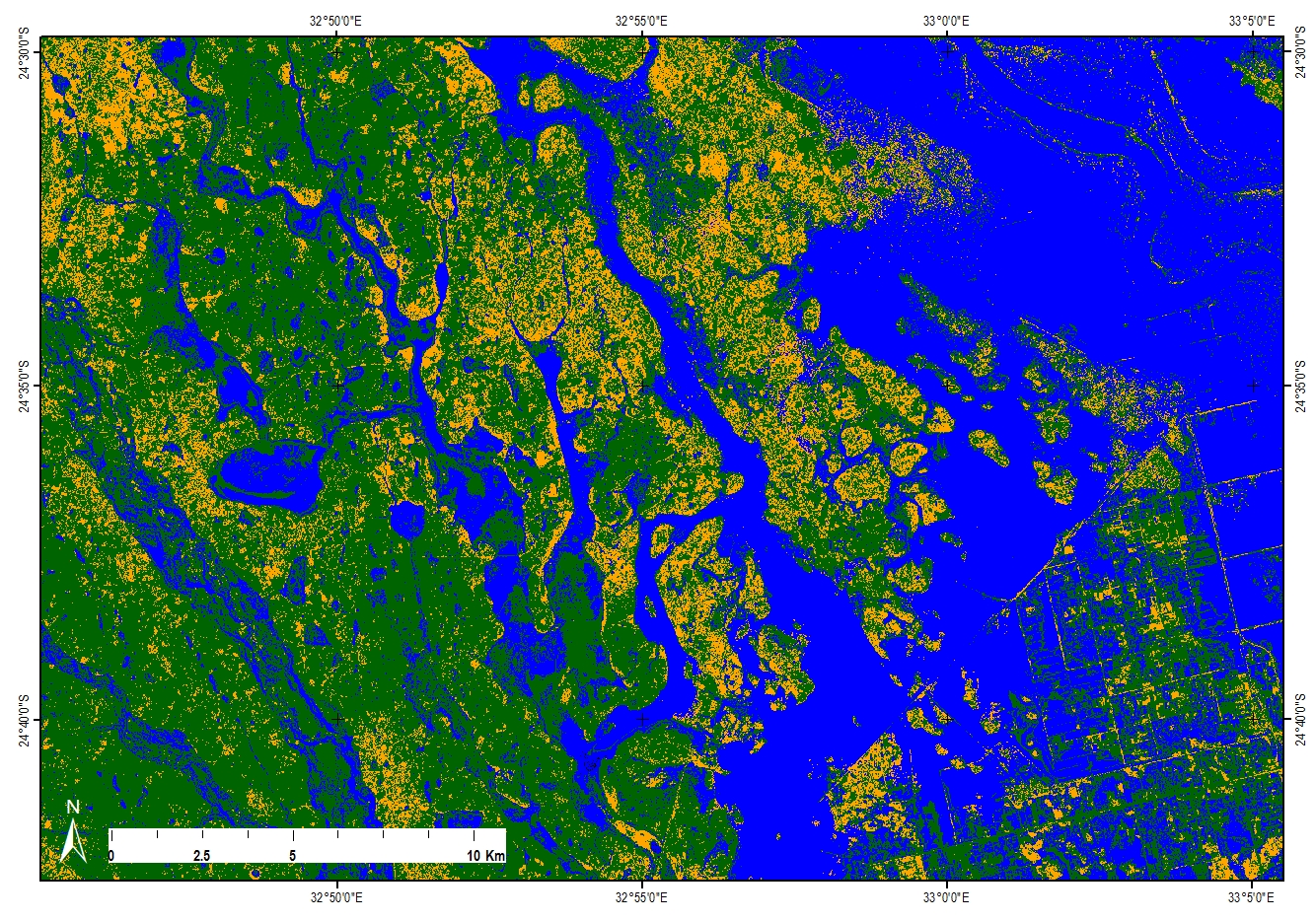
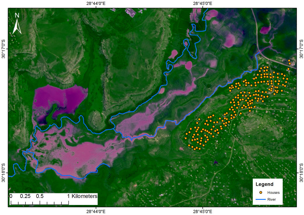
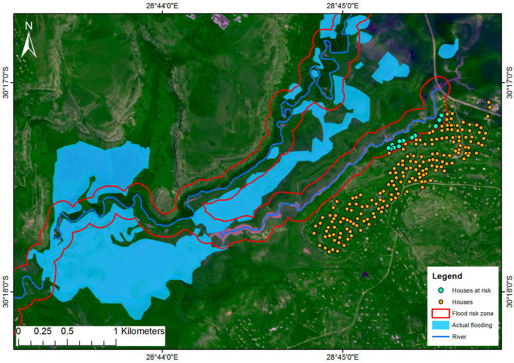
Natural disasters are catastrophic events which result from natural processes of the earth affecting human livelihood and at times claiming lives. Remote sensing is significant in disaster management to prepare, recover and respond to disasters such as floods. Remote sensing makes it possible to do a post analysis assessment of the area affected after the floods by identifying the affected infrastructure and the extent of the flooded area.


Chokwe


Flooded areas within and around Chokwe, the satellite image shows how the road and railway infrastructure were affected. Such information is critical in identifying alternative routes during rescue and recovery operations.


Segmentation of image objects


Classification


Matatiele


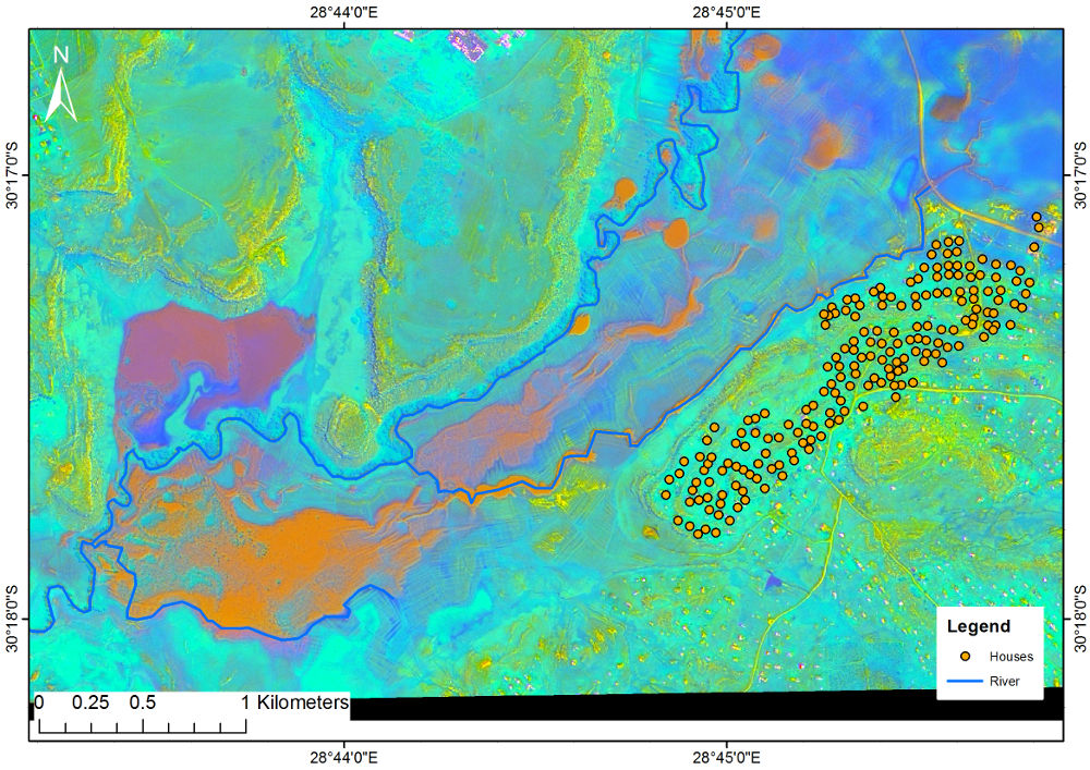
Principal component analysis.


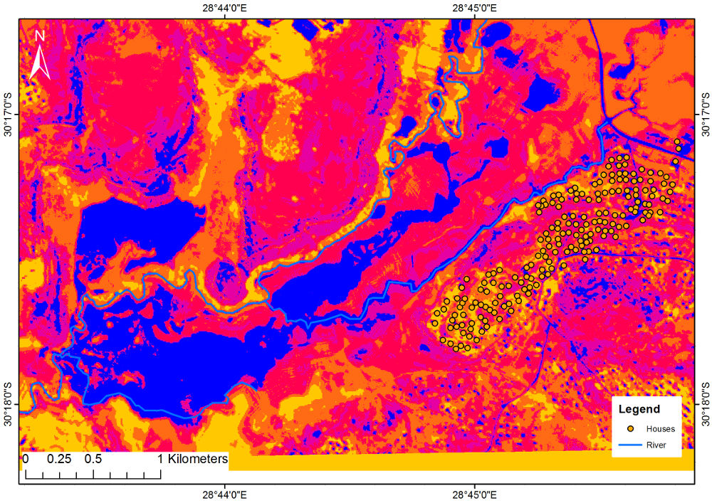
Classification


Flood polygon


Back to top


© Copyright: South African National Space Agency 2015. All rights are reserved.