BURN SCAR MAPPING


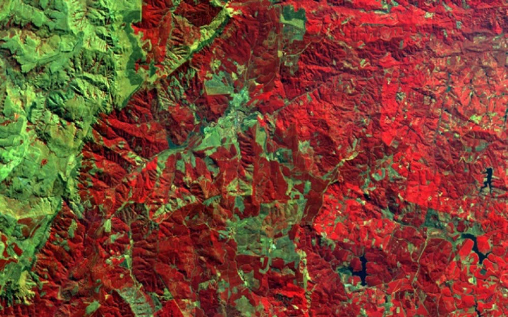
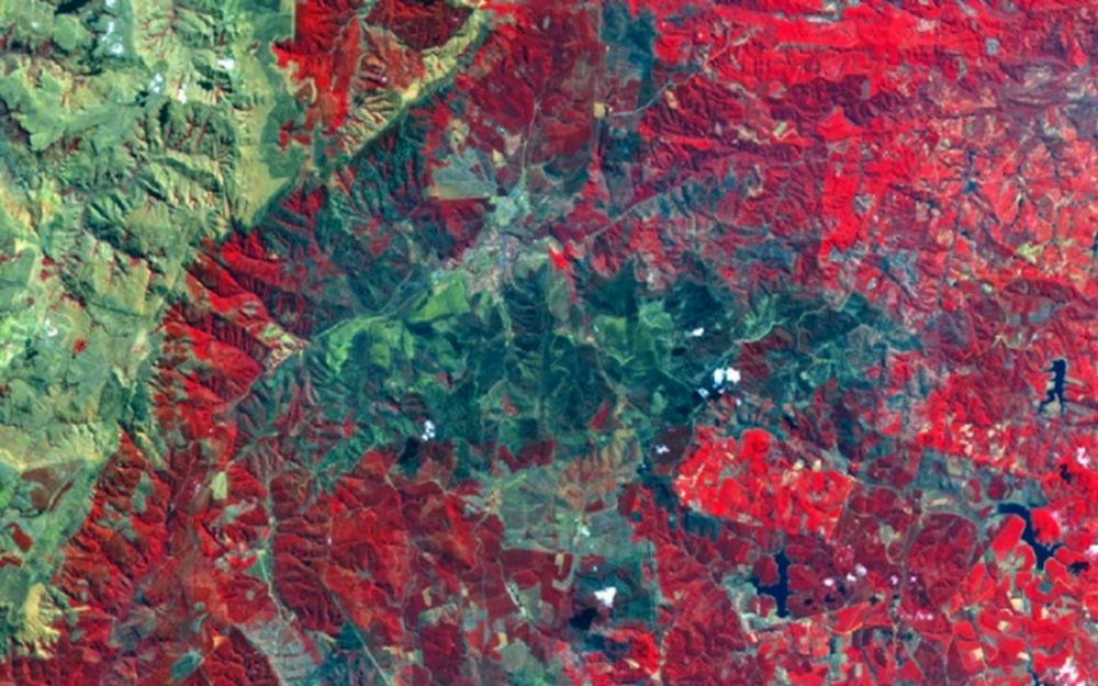
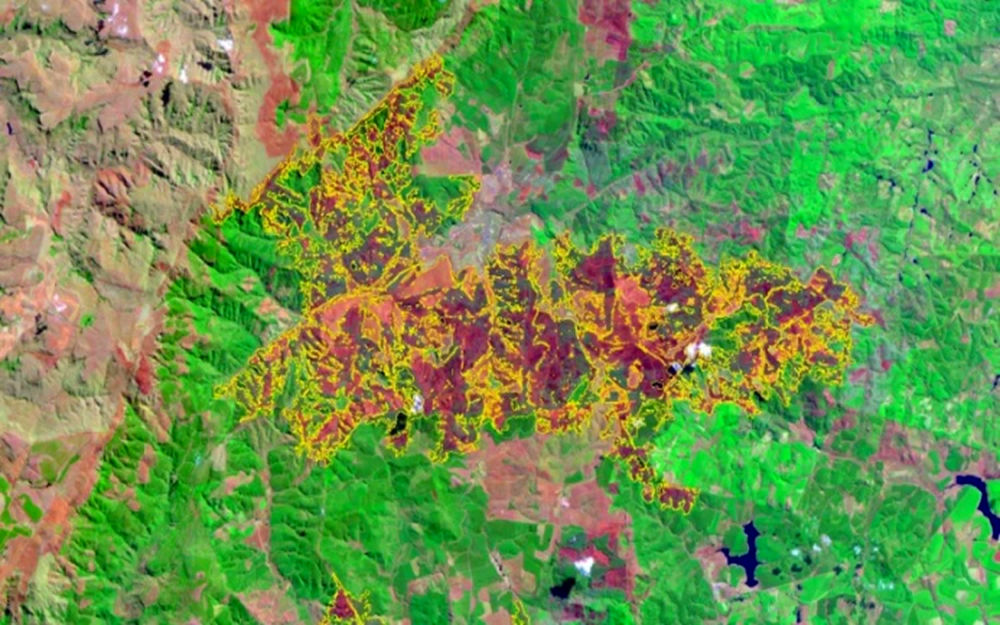
Natural disasters are devastating events that result from natural processes of the Earth. Remote sensing has the capability to map and monitor the impact of catastrophic events such as landslides, volcanic eruptions and veld fires. With the use of satellite imaging, different views of the affected areas before, during and after the fire can be acquired. Such information provides a different yet valuable perspective of the disaster-affected area. The LandSat 5 (left) and SPOT 4 images below (right) show veld fires in the Western Cape. The fires were captured while still actively burning on the ground and subsequently the satellites captured the burnt scars during their next overpass.
Remote sensing offers the ability to monitor the
impact of disastrous events such as veld fires


Before the fire


After the fire


Fire scar mapping

Back to top


© Copyright: South African National Space Agency 2015. All rights are reserved.